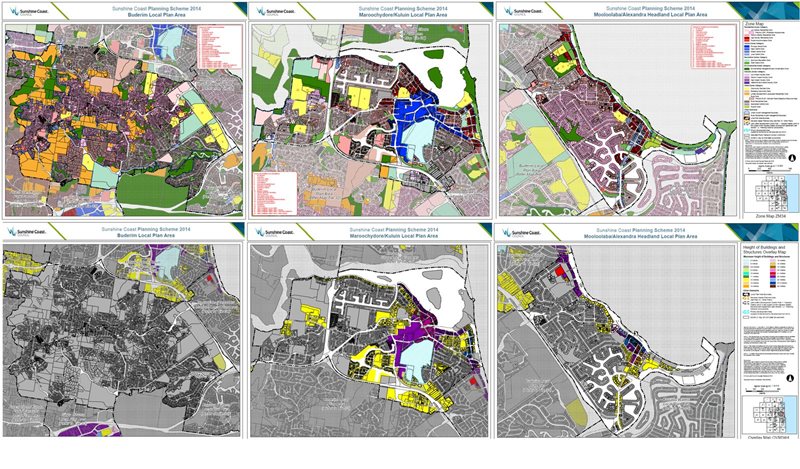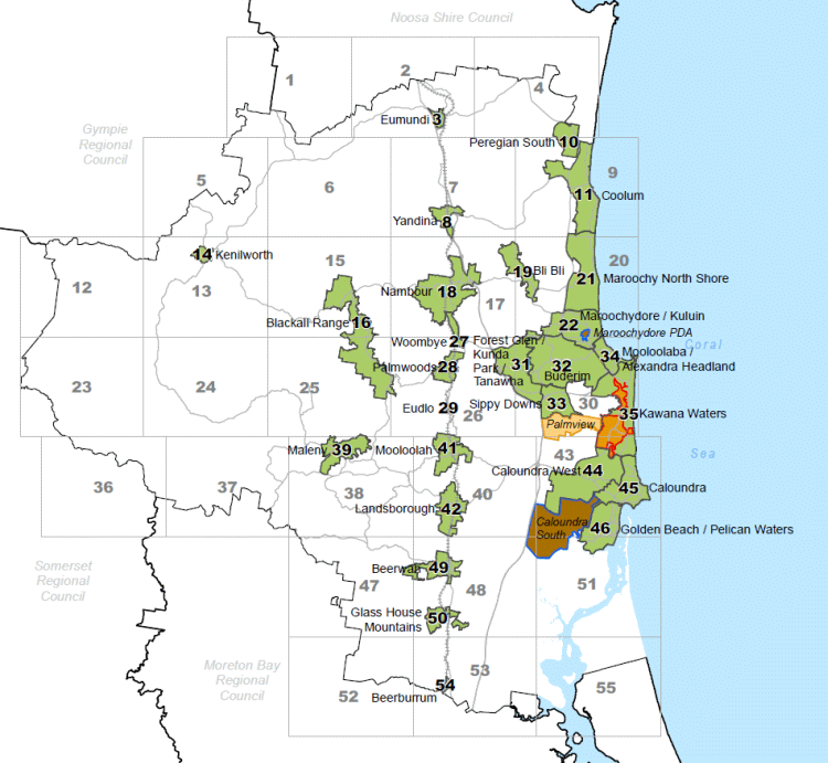

Mapping Tools Available for Public Reference
Have you ever wanted to know what residential zone a particular property falls under?
Or whether a property might be subject to Flood, Bushfire or Landslide Hazards?
Or what height buildings and structures are able to be built to?
The Sunshine Coast Planning Scheme 2014 contains maps that are specific to a local
area and maps at a Sunshine Coast wide scale.